Sanctuary In Zion National Park

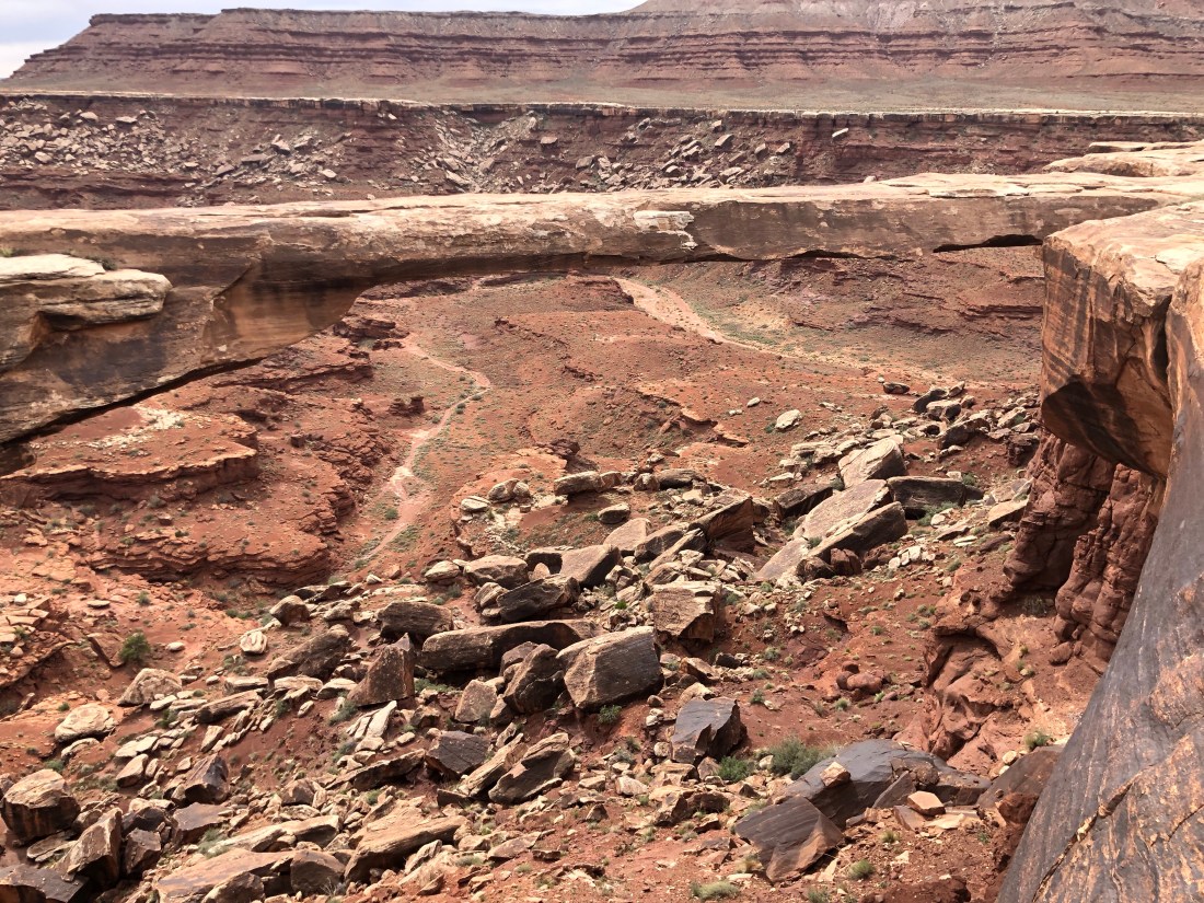
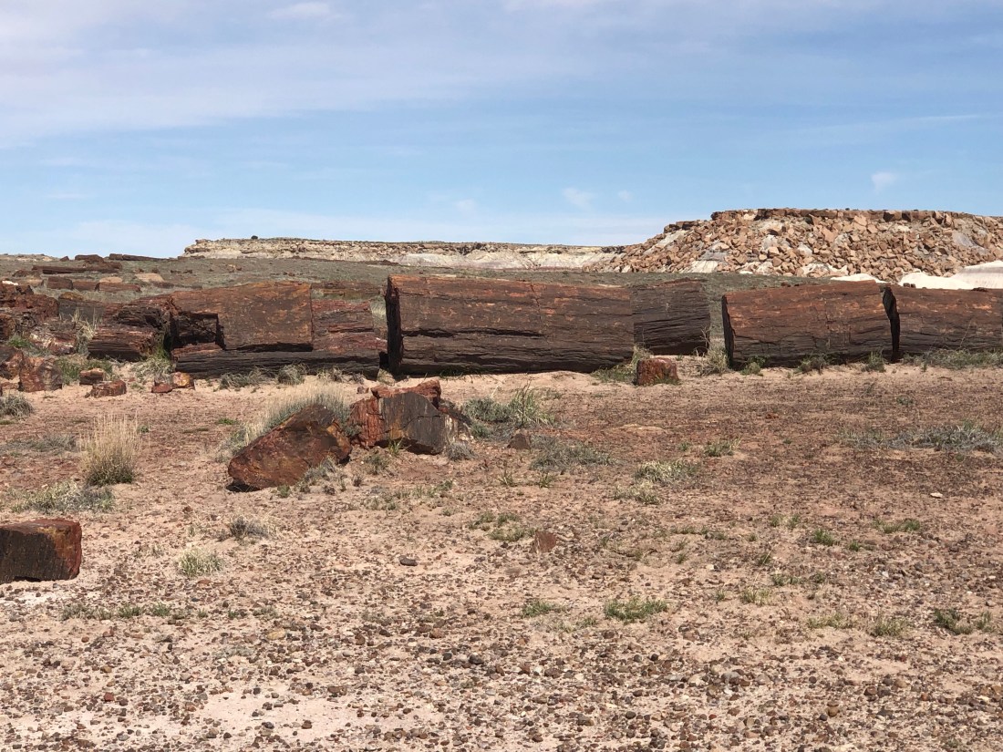
After seeing the Petrified Forest I thought I had seen the “best”, and the same after Canyon de Chelly, Monument Valley, Canyonlands and Arches, and Bryce.  However, I have found each of our Southwest national parks is unique and equally beautiful.  Zion National Park is no different.  Zion is a Hebrew word for Sanctuary and Refuge.

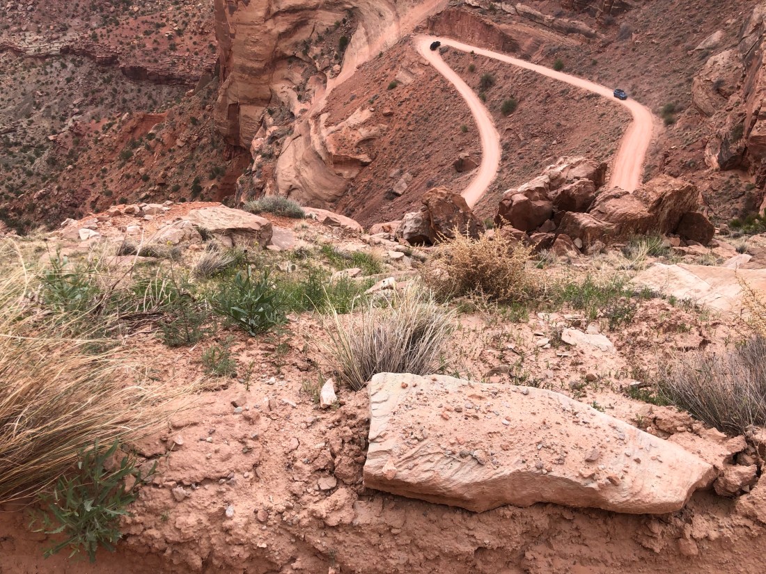
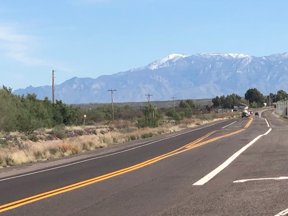
Two quick side-notes before I describe the wonder that is Zion National Park.  The first is that the drive from Bryce to Zion was nice.  But due to mother nature, I was unable to ride the Zion Park Scenic Byway.  This 54-mile road is the spine of the park and is an engineering feat.  Unfortunately, 4″ of rain in March, which is usually what the area gets in a year, washed the road out.  It will reopen in May.

The second quick side note is an acknowledgment to the National Park Rangers.  I have spoken to many over the past few weeks and their pleasant, happy demeanor can be accountable to the fact that they love their job.  Working in God’s creation is a special opportunity and as one Ranger informed me, “Going to work is like going to church every day.”  These are special people who do so much more than give directions.  They inspect and keep trails open, they provide search and rescue support to lost travelers, they monitor the ecosystems to provide up to date reports on environmental change, etc.  They are people that I have a new perspective and deeper respect for.

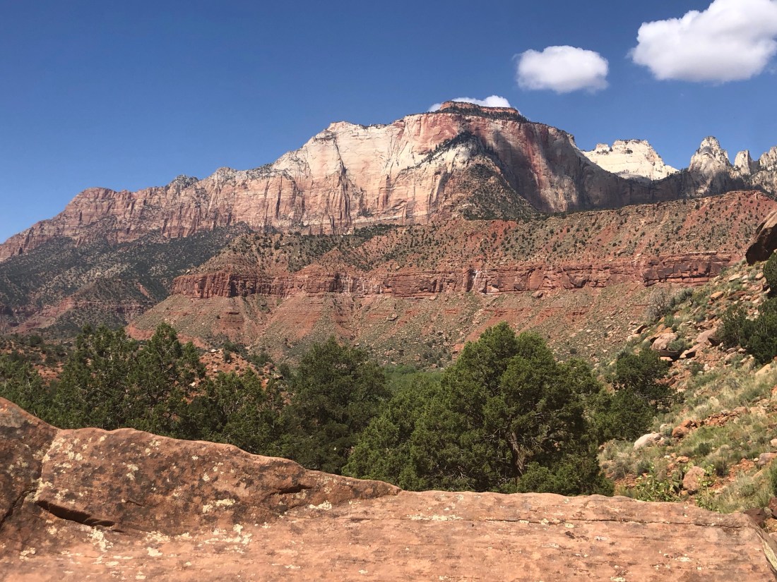
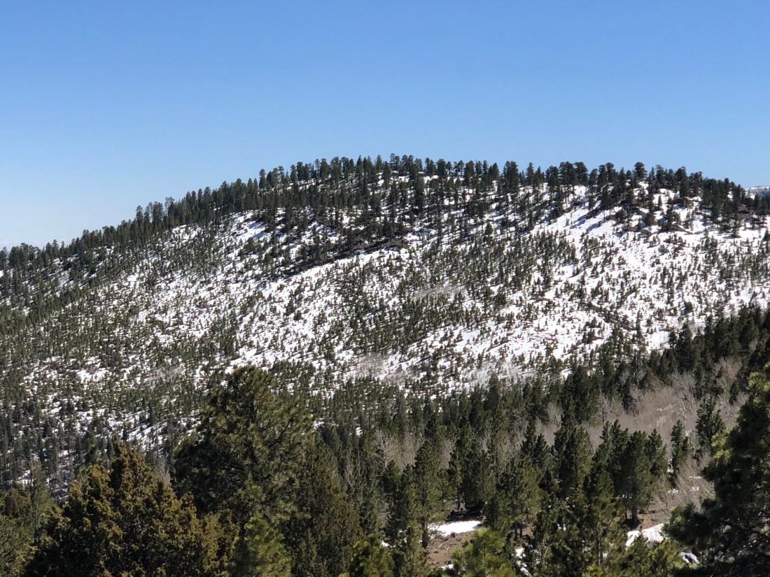
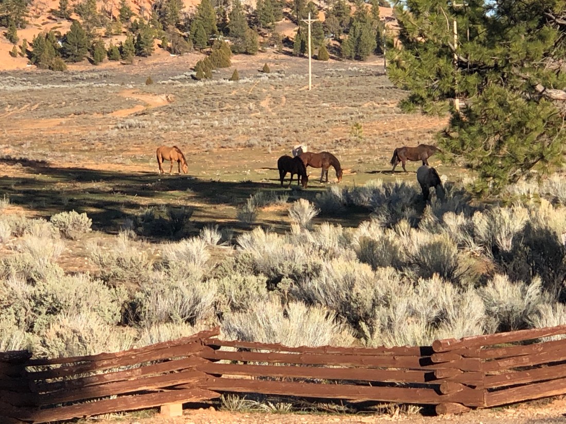
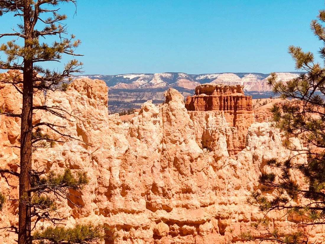
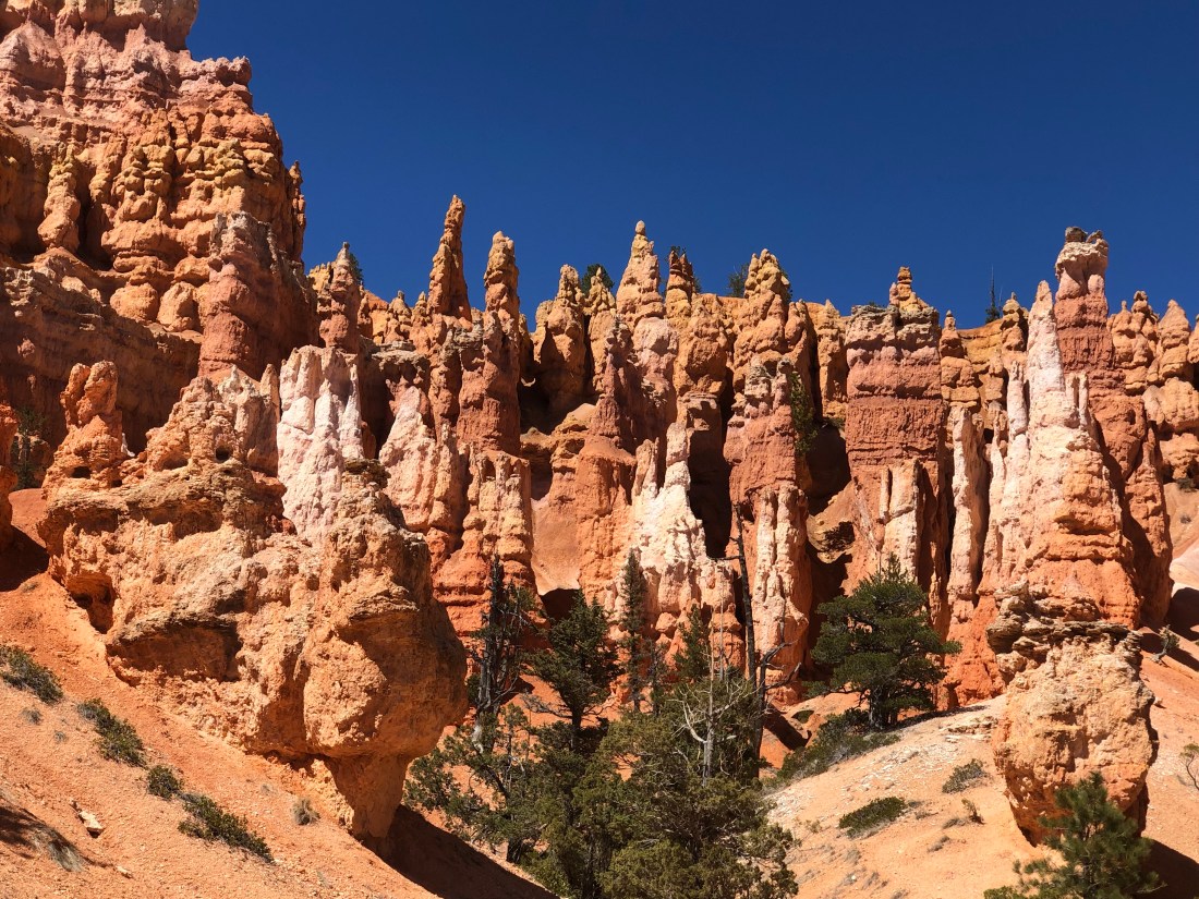
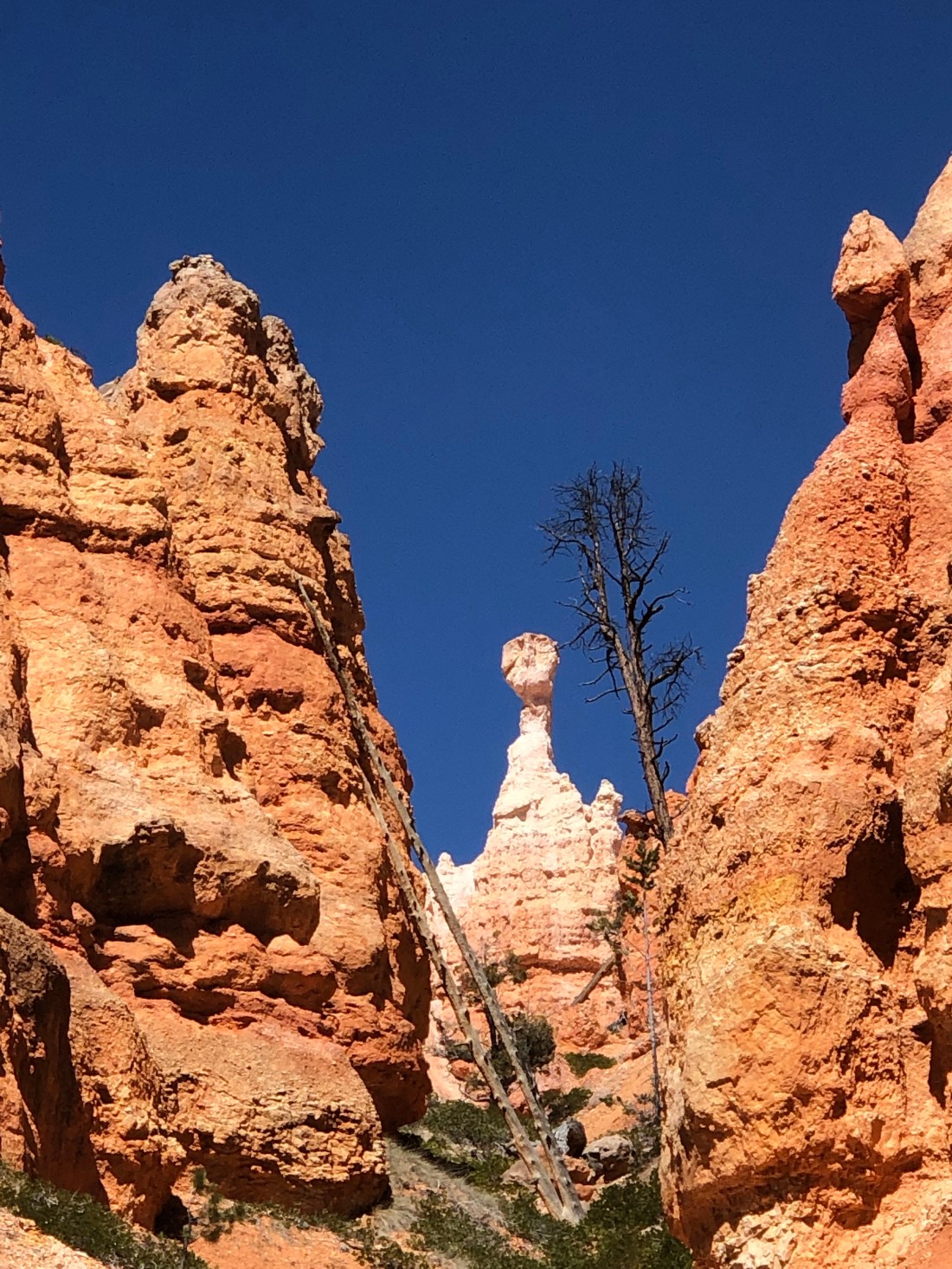
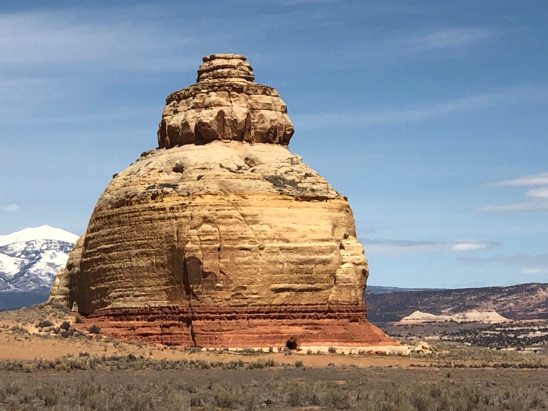
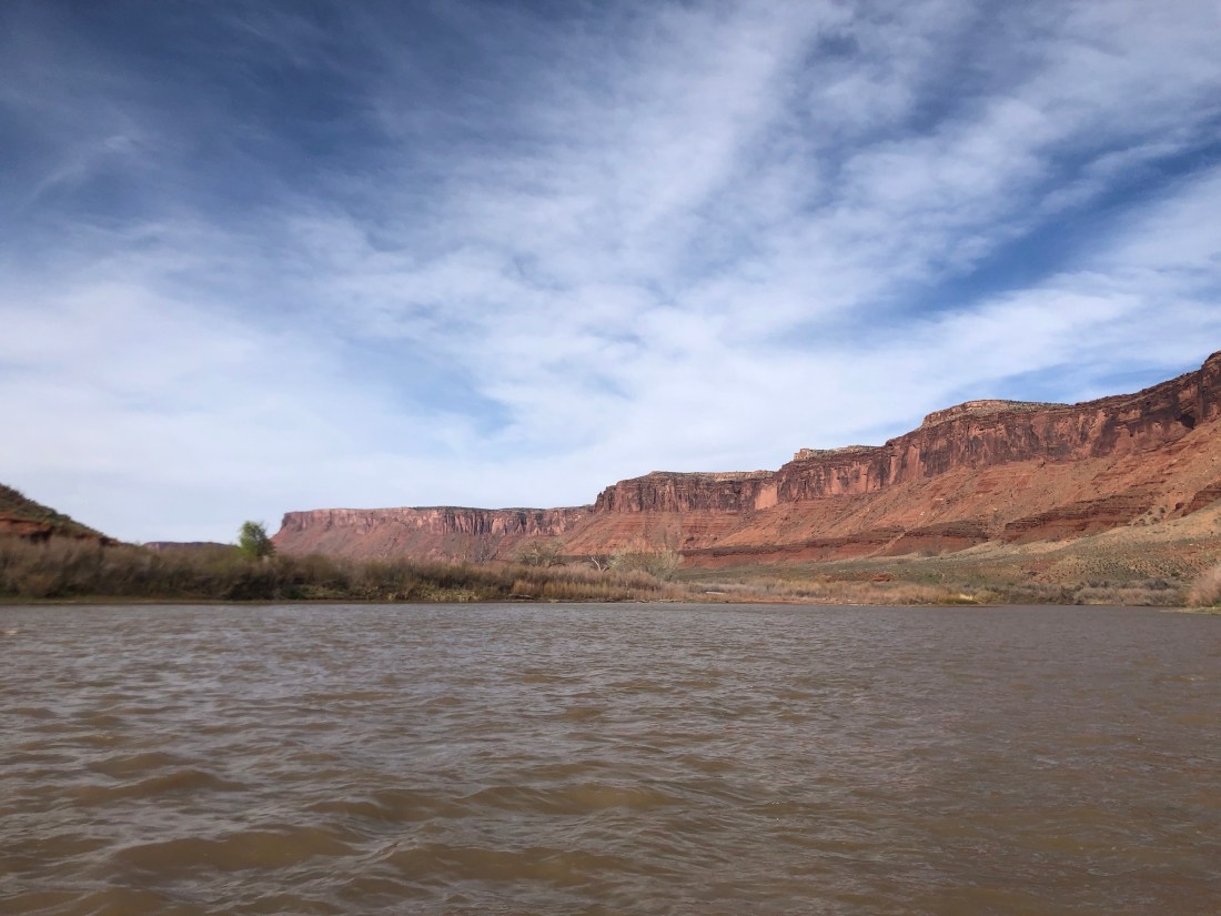
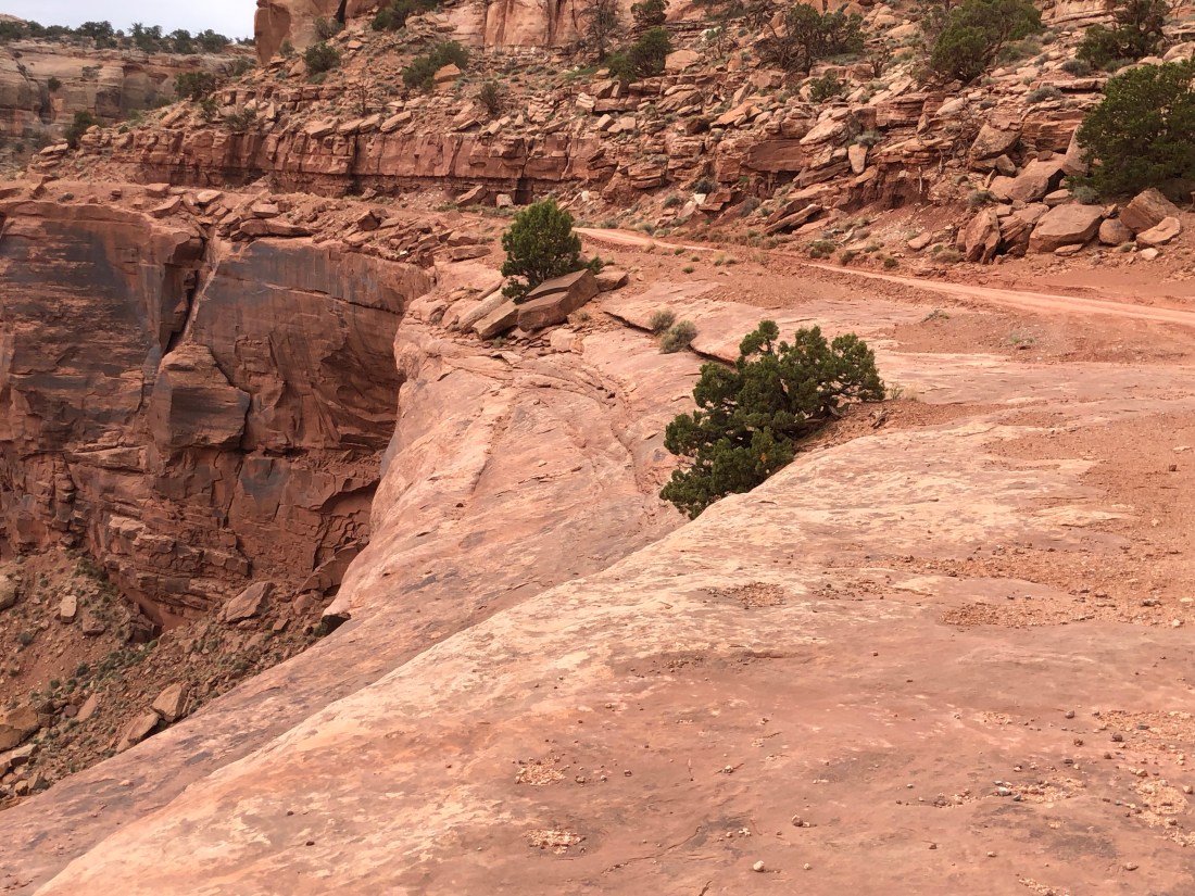
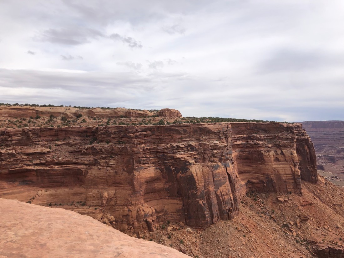
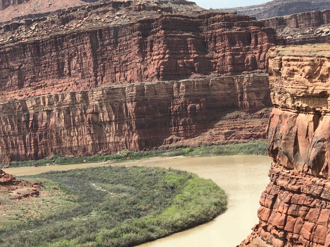
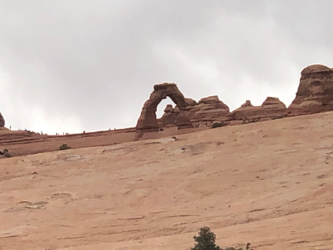
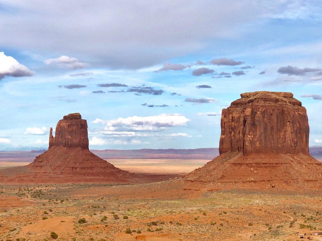
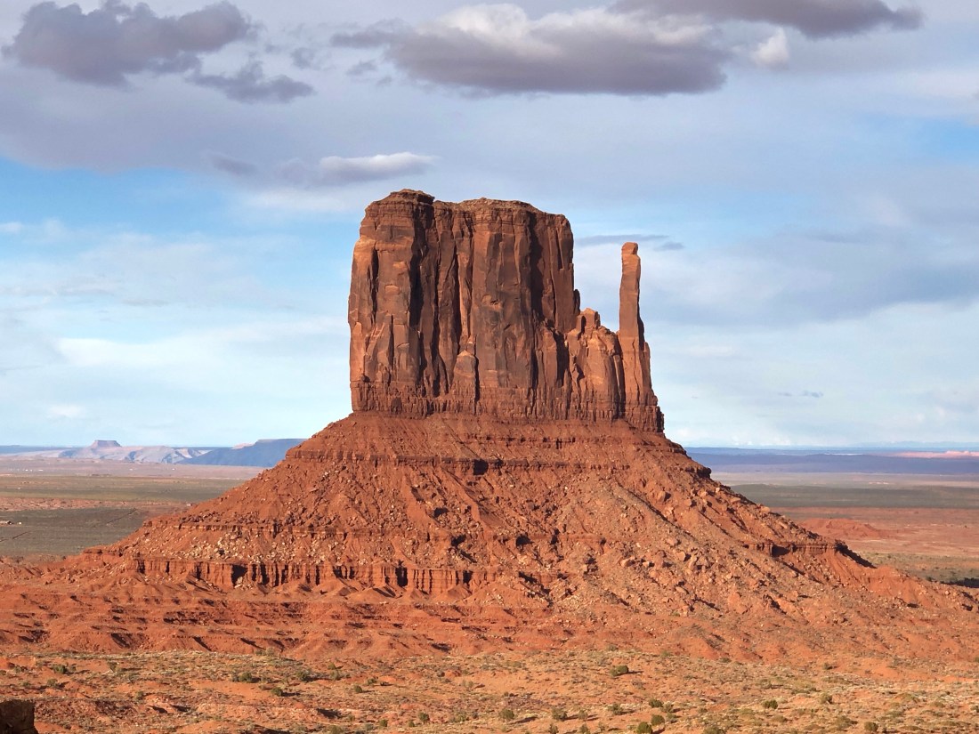
As I have mentioned, each park is unique.  From the petrified tree trunks in the Petrified Forest to the Mesas, Spires and Buttes of Monument Valley and the Hoodoos of Bryce.  Zion’s unique geology is soaring rock cliffs hundreds and hundreds of feet above the canyon floor.  Zion, unlike Bryce, is a true canyon having been created by the flow of the Virgin River.

KBvSuwTyRcK1yEHk64ByNA
Soaring Peaks as seen from Watchman Trail.

rviJg4ppSBqbyU4tdMEbWg

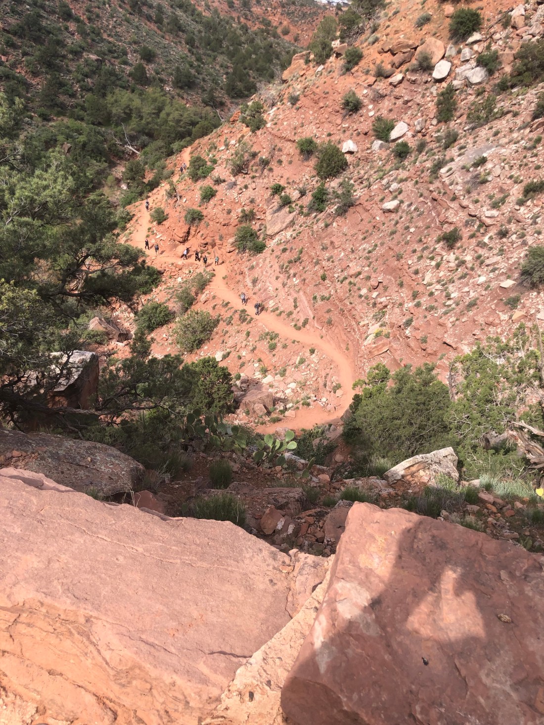
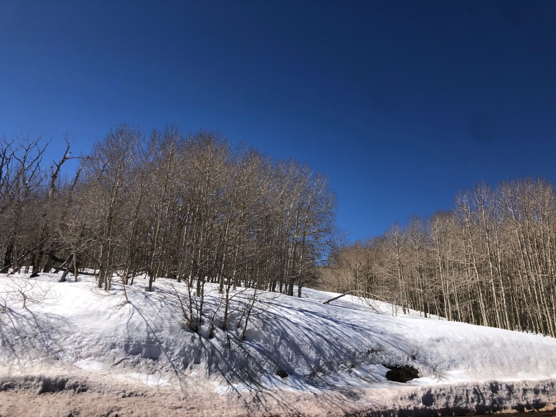
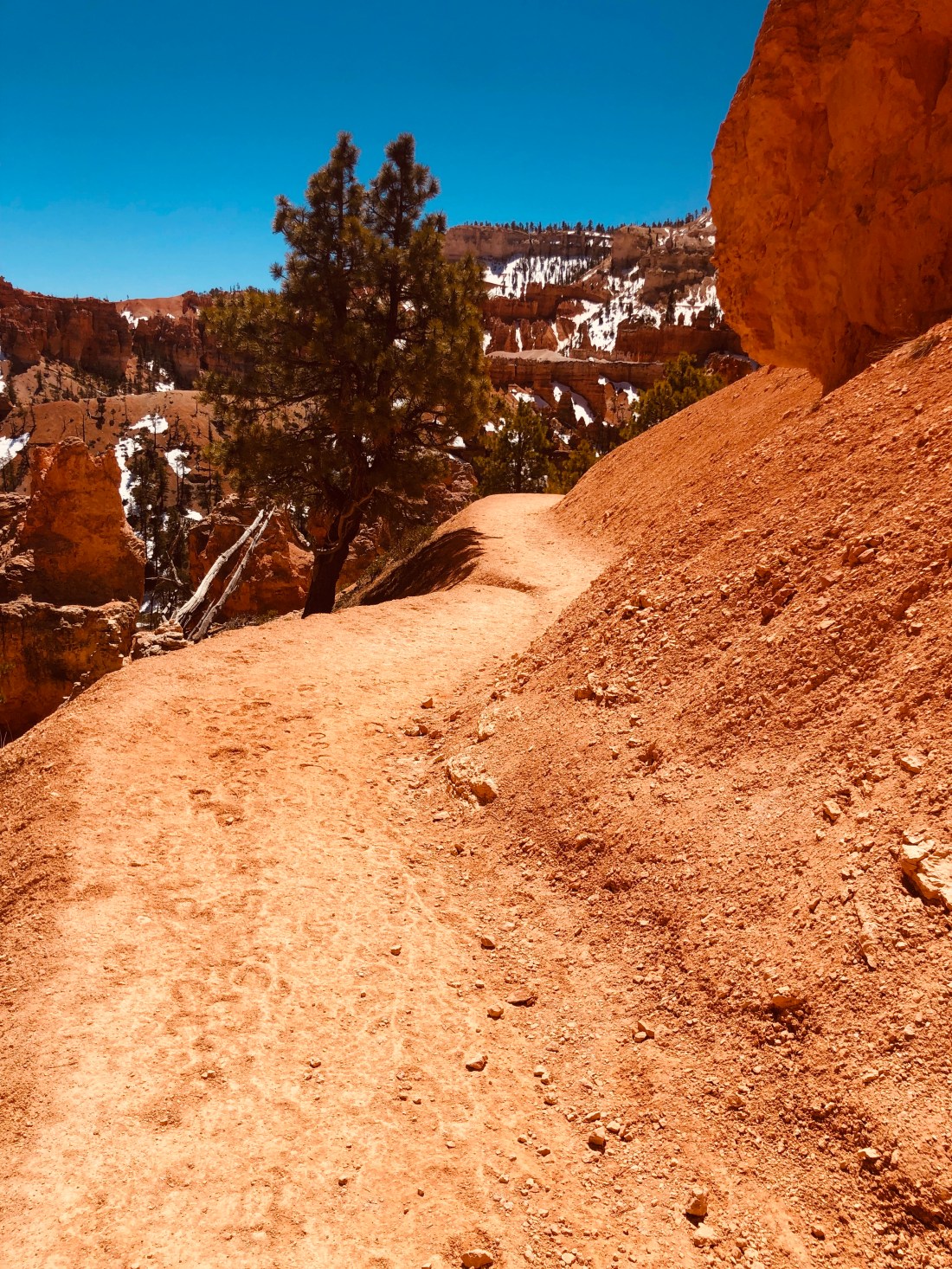
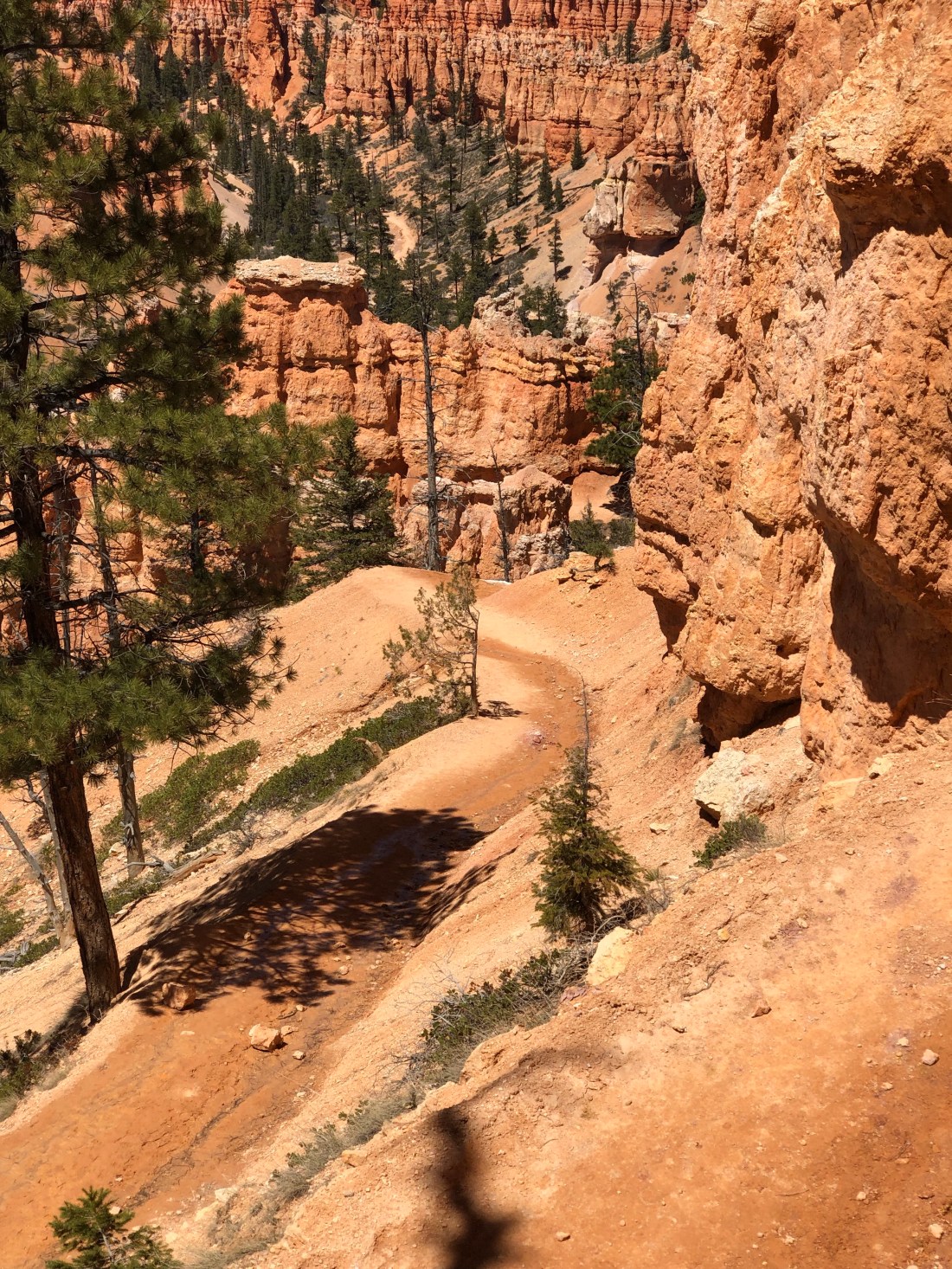
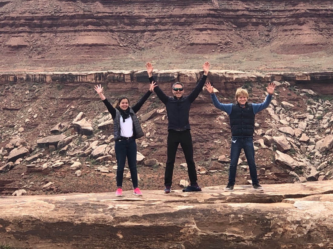
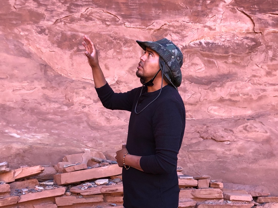
Again, I was moved to hike the park which is new for me versus my past horses and motorcycles.  But, to find sanctuary and quiet and get away from the crowd, hiking is one way to find solitude.  My first day I did an easier hike on Watchman Trail and an even easier hike to Lower Emerald Pool.  The morning Watchman Trail hike, a three-mile round trip, 500′ elevation, provided views across the canyon.

gRoaMeWESVmXOqNS7jD+Dg
Yes, I climbed that
fullsizeoutput_1050
Cactus was thrivin’ in Zion and seen much less in Bryce
w7iPLBd5QSergQLxePSjMA
And beautiful Mountain Flowers was abundant
iGyr+ChMSMiTFDiP1yzWvg
A portion of the trail showing layered rocks
vPrFiGzXTH+lEAbErlG9ng
At the top of Watchman, you see clear across the canyon.

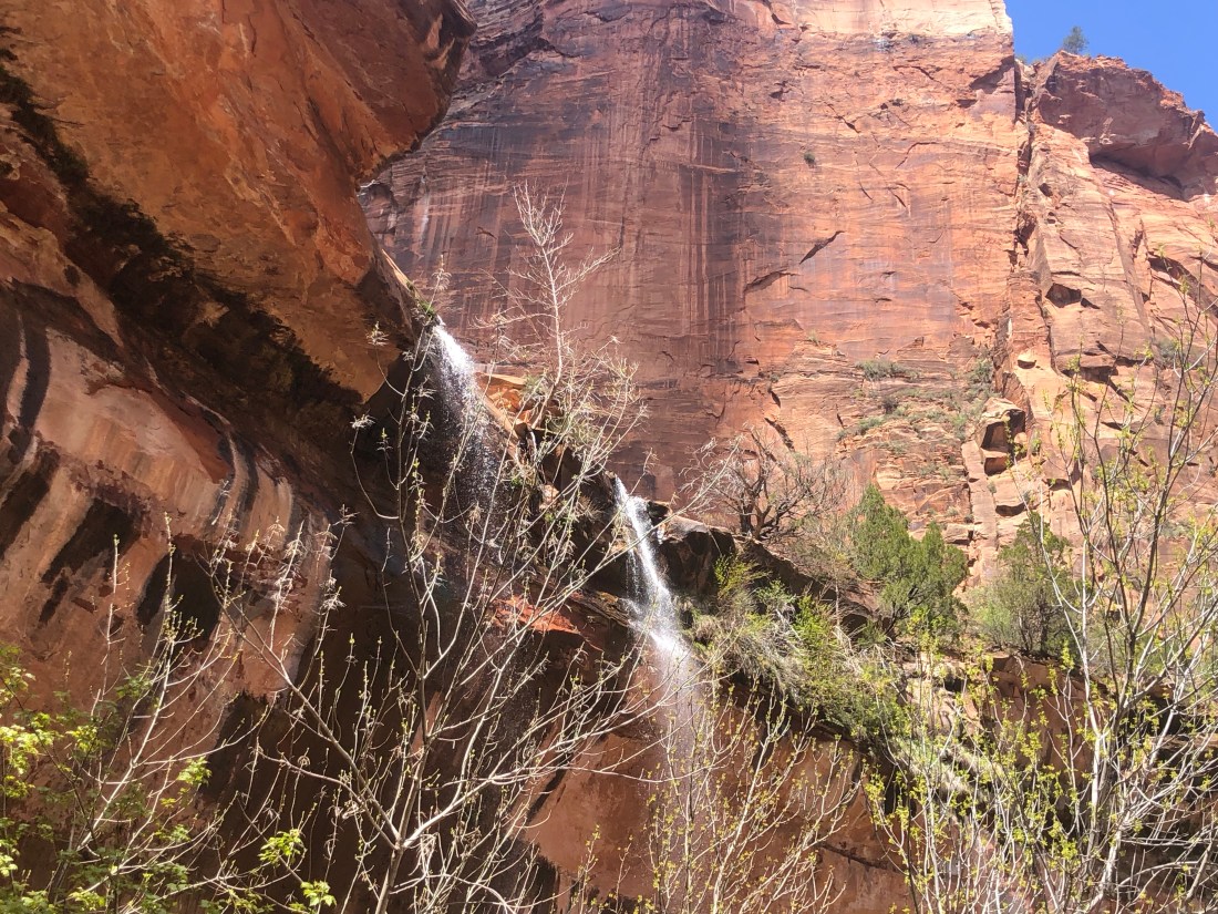
The afternoon, I took a much easier hike, really a stroll, to Lower Emerald Pool as the Upper Pool trail was closed due to rock slides.  While an easy stroll, it did take me to an impressive waterfall that I could walk under – I guess I am big into walking and riding under waterfalls.

CZS2wv4vTEyMvI5OmKjnIg
Waterfalls at Zion Lower Emerald Pool.

nWDFtl7IT926CCikJcqmwQ

7+q80H71RZ6kNKE2666Iag

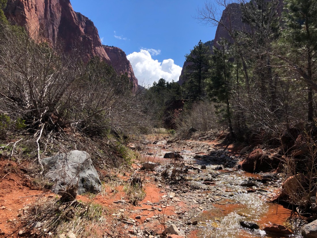
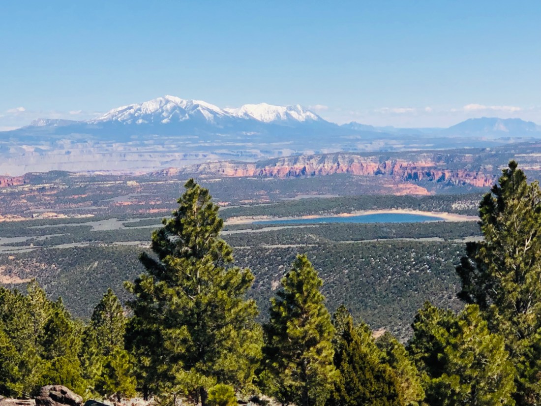
In search of smaller crowds, the second day I traveled to the north end of Zion to hike Taylor Creek Trail.  This 5 mile, 715′ trail is called moderate and it was not a challenge.  However, you do need to recapture muscle memory to enjoy the trail.  Let me explain.

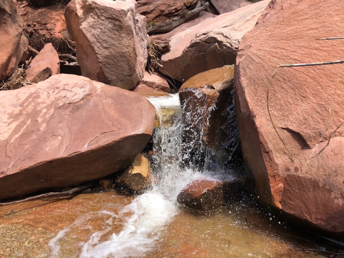
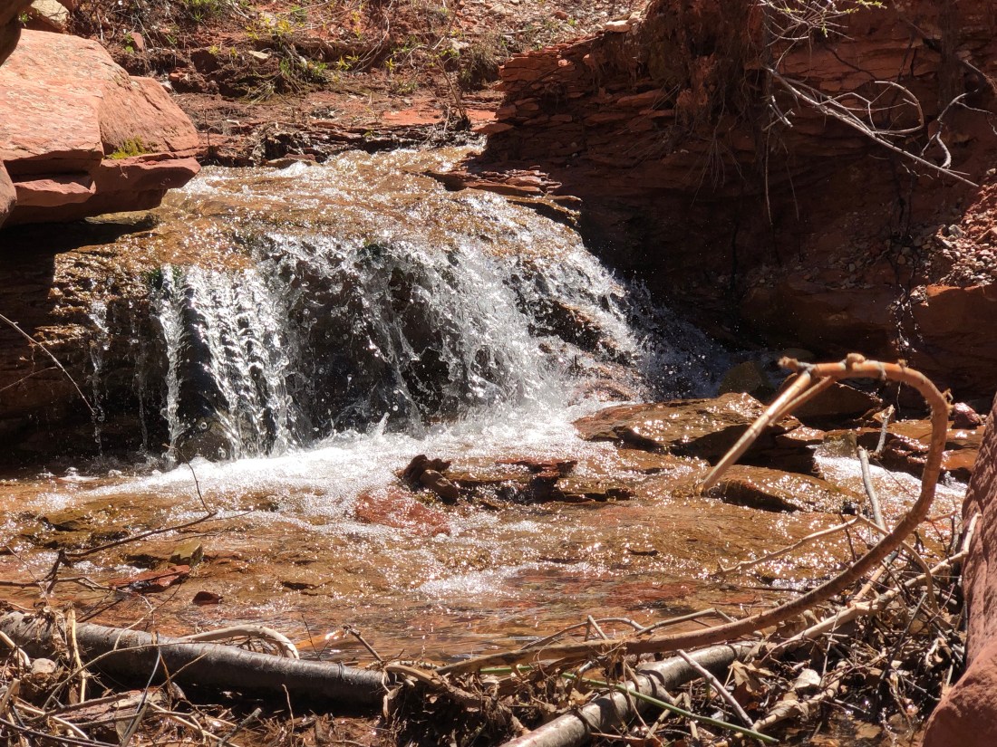
Taylor Creek Trail, as its name suggests, runs alongside Taylor Creek.  The trail crosses the creek dozens of times.  I must admit, the first time I had to cross the creek, not knowing that this would be the first of many, embarrassingly, I took off my shoes and socks and waded across.  You had to learn to look for the stones to jump across the creek and keep your feet dry.  By the end of the hike, I was jumping the creek like a Mountain Goat (if they jump creeks – I would think that they would be good).

FaanAxo+QjeLWchrwpFXeA
The beginning of Taylor Creek – it looks less wide than I remember it.
obekhgc4Rja3690T4A2F1A
I ran across very few hikers – but, reassuring to see others on the trail

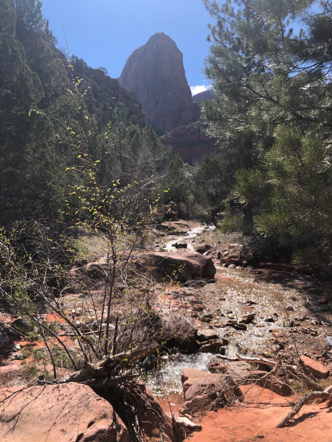
As I walked the trail, the canyon narrowed.

nSxOee4nTYChadTGjNWLog
The canyon narrows to almost a slot canyon

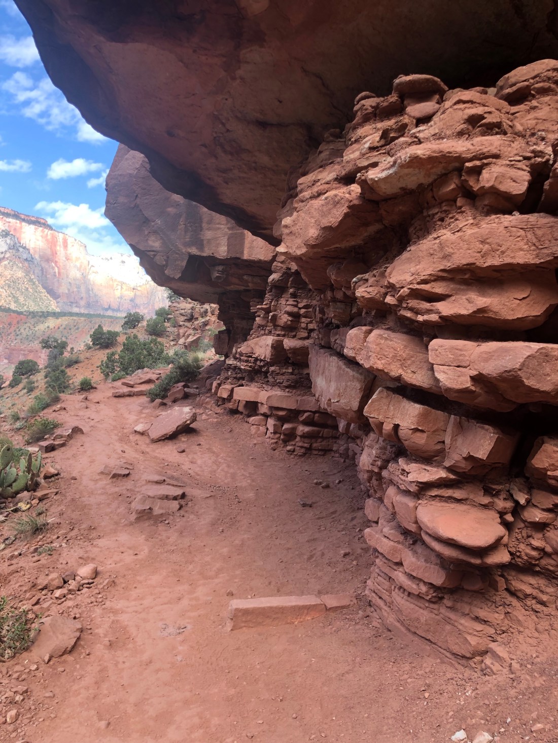
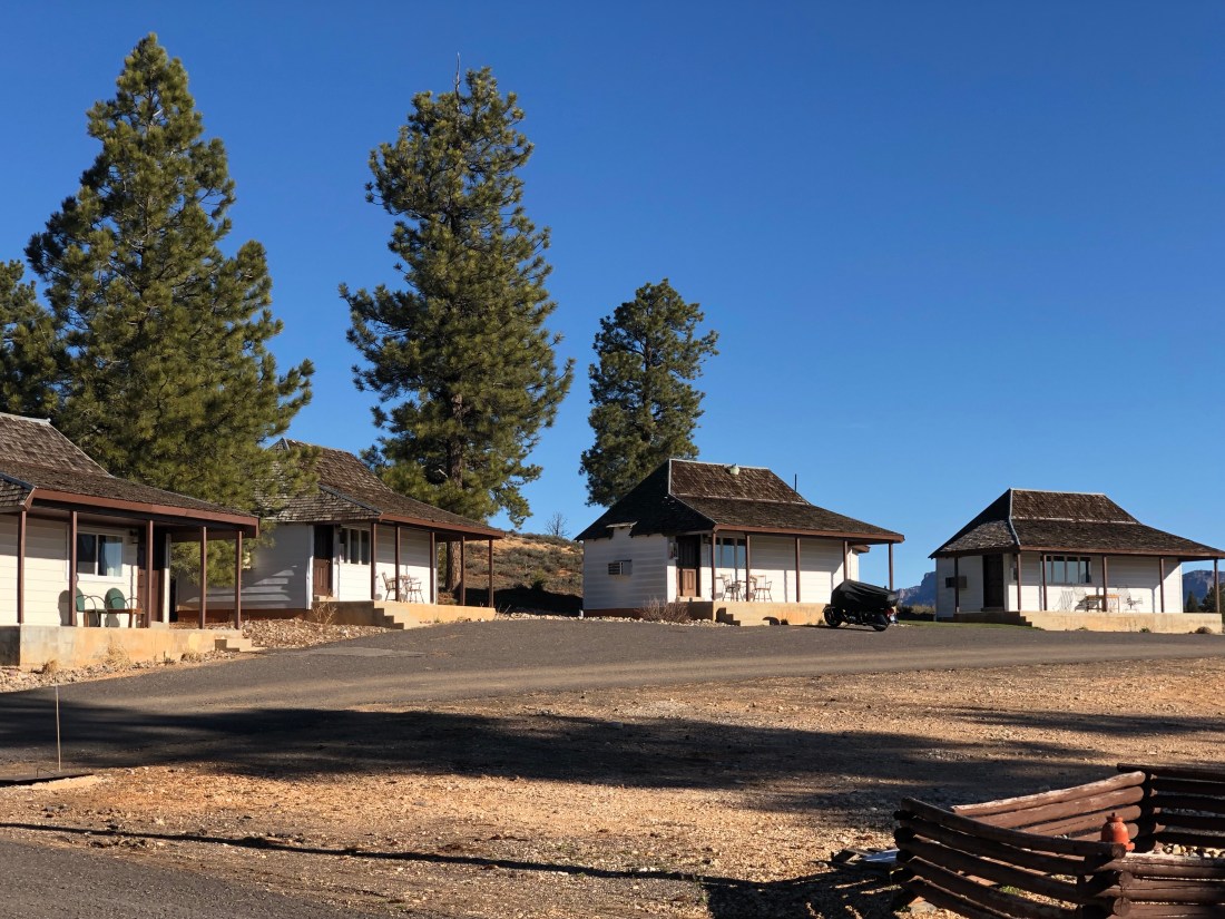
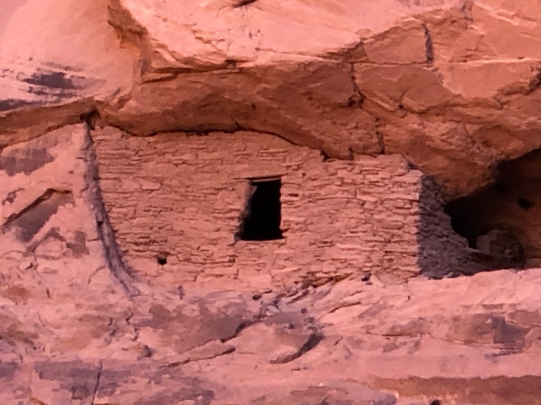
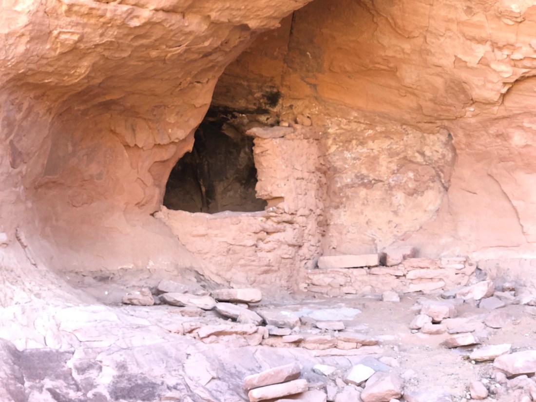
Twice along the trail, I rounded a corner and came across a settler’s cabin built around the 1930s.  I could not imagine why these two families would build a cabin this far off the beaten path with little area for farming.  They must have existed by hunting and they had an abundance of water – I am sure at times too much.

S+NqT85zQVWfO1nIwjjRSQ
The Mountain Flowers were in full bloom
2NCMH6A5RE6IwxSreWxt9g
And frequent little waterfalls added to the beauty of the creek.

EO3EUSVwQk+Z52vdGfmB4A

bmV8+6VyR%GBwfbyPFCpdg
At the far end of the trail is Double Arch Alcove – Indents in the canyon wall created by Taylor Creek when running wild.
cB7NGtj8TTqwJHFgDdlByQ
OK? – How would you cross – all the stones in the middle are slippery and wet

Zion National Park was founded in 1919 and is truly a national treasure.  Zion concludes my tour of the “Grand Circle” of the Colorado Plateau National Parks.  This expedition was a bucket list adventure.  It surpassed my wildest expectations and the beauty and grandeur of our Parks are breathtaking.  I encourage you to find time to visit this amazing part of our country and hike or ride horses as deep into this beautiful land as you can.

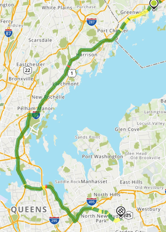
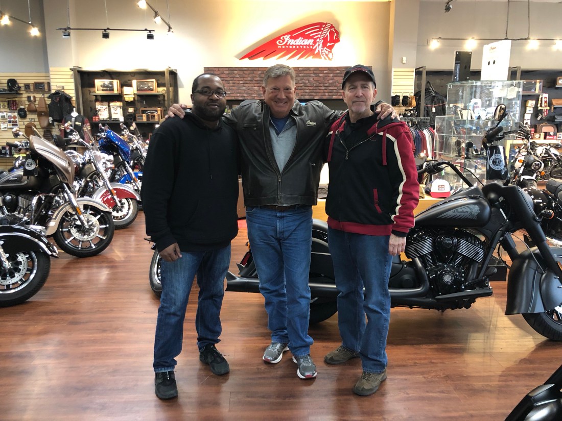
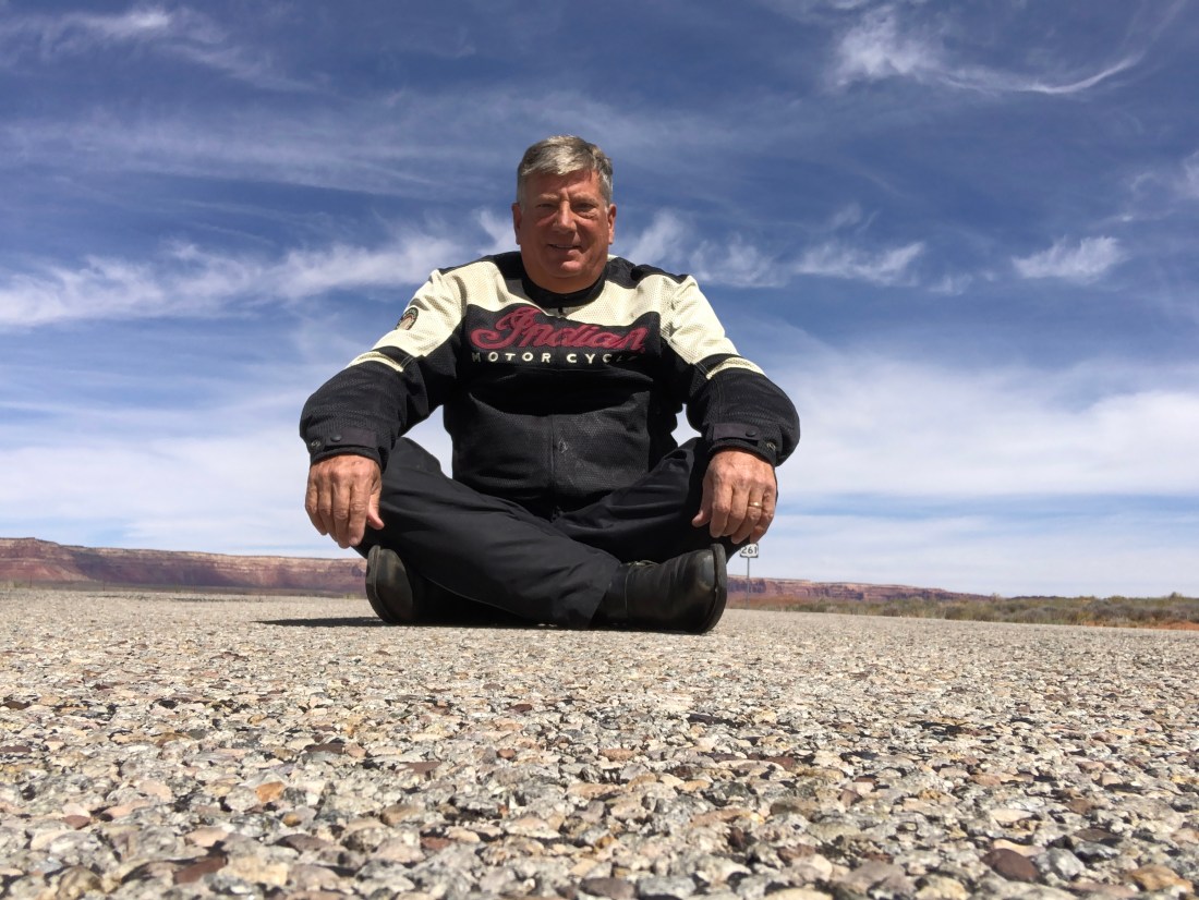
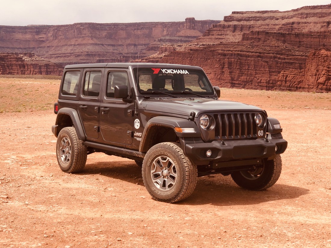
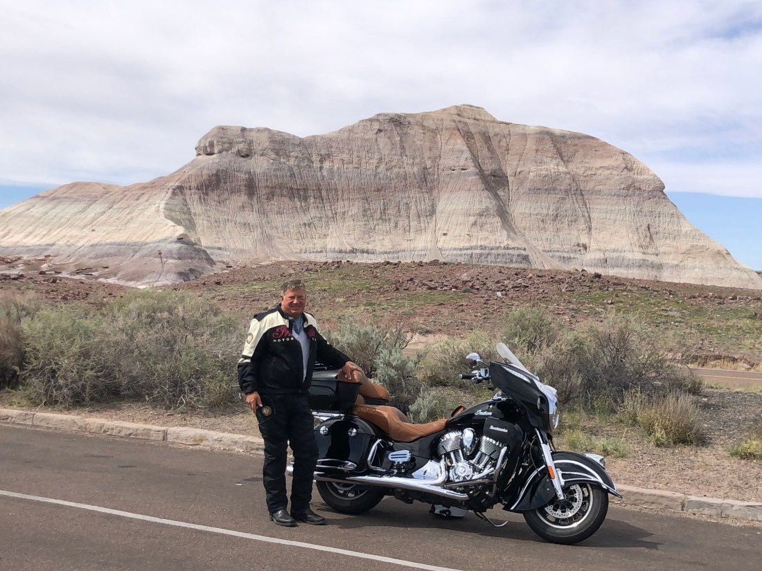
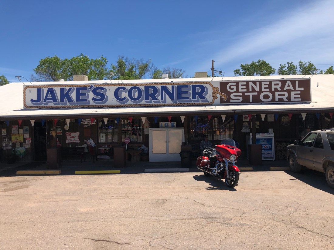
Now for something different.  Today, I am off to Las Vegas.  My trusty Indian is in need of some attention.  She has developed a wheeze in her drive belt and I need to have it looked at by “Sin City Indian Motorcycle” ( did not make that up).  One quick note about my Indian.  You become attached to your motorcycle at a different level than your truck or car.  Especially when you are in the desert, with nobody within miles, and you need to count on the machine running smoothly.  She has been a trooper.

I am coming to the end of my odyssey with only Route 66 and Sedona left to explore.  I then have a quick trip to Tucson to catch up with some great friends and then back to Phoenix and home on May 3rd.

This trip has been amazing – the wonder, sites, and experiences have surpassed my expectations.  Thanks for joining me.

Keep Wheeling!

Bryce Canyon – Hoodoos?

This Blog is two stories of two incredible days as I continue my search for wonderful roads, sights, and adventures.

Ride from Moab to Bryce Canyon UT

Story One – The ride from Moab, Utah to Bryce Canyon, Utah and Bryce Canyon Pines Motel.  I started north on 191 out of Moab to Interstate 70 West.

Interstates, with a speed limit of 80 MPH, is not fun on a motorcycle.  You need to stay vigilant as people are doing 85 to 100 MPH and things can happen fast.  From I 70 I connected with US 24 and then to US 12 and into Bryce Canyon.

Screen Shot 2019-04-19 at 9.05.20 AM

The ride took me from summer to spring to winter and back to spring in a matter of 5-6 hours.  It demonstrates the impact of elevation and the diversity of this amazing country.

NyrD1TYGS6mDu0HKzS%tSw
The intersection of I 70 and Route 24

This was the view at the beginning of my ride on Route 24.  I had just exited I 70 and the temperature was 70º+ and as you see,  the terrain was dusty and flat with no other vehicles in sight.

RlDCIAEQS82DBoWi5CMqnw
Along Route 24 desert changed to rock and cliffs

Within just a couple of hours, I had moved out of the desert and into rocky terrain with beautiful streams running alongside the road.  The temperature had dropped to the mid-60ºs.

O7cEeQWrQ3+rL8X78fEY4g
The View from Torrey, UT looking East into the Henry Mountains

When I reached the intersection of 24 and 12, I could see the large Henry Mountains that I would need to cross to get to Bryce on Route 12.  They were large, high and snow covered.  They also lay in the Grand Staircase-Escalante National Monument.

fqz+ifOsSlSd%I8KUFORdQ
The Henry Mountains in Utah

As I climbed in elevation, the snow-capped mountains came closer and closer and the temperature was dropping into the 50ºs.  The roads were clear, but the mountain meadows still lay under feet of snow.

FJj8HLhBQ9qe8DZ2kR12TQ
Winter still hangs on high in the Henry Mountains of Utah

As I reached the peak, the temperature had dropped into the 40ºs.  The sides of the road were completely snow covered and winter still lived high in the mountains.

fullsizeoutput_ff6
The view from the peak of the Henry Mountains

The ride was completely worthwhile as I was treated to breathtaking vistas of the “world”.   Having crossed the mountains, I arrived at my cabin at Bryce Canyon Pines.

rckXbHvKSBKQITPX%N+aKg
My cabin at Bryce Canyon Pines – Can you guess which is mine?
4Zro1udXT4W2tmyPyL%hVQ
The view from my front porch!

Bryce Canyon, UT

The second story is my discovery of Bryce Canyon.  The Bryce Canyon area was settled by Mormon pioneers in the 1850s and was named after Ebenezer Bryce, who homesteaded in the area in 1874. The area around Bryce Canyon was originally designated as a national monument by President Warren G. Harding in 1923 and was redesignated as a national park by Congress in 1928.

Bryce Canyon is technically not a canyon as it was not formed from erosion from a naturally flowing stream.  Instead, time and weather have created a collection of Amphitheater shaped features.

Bryce Canyon is a place where intricately carved towers, called Hoodoos, and archways of stone shimmer in a dazzling array of color under the bright sun.  It is a maze of rocks that intertwine with vast vistas of the country that surrounds it.  Interestingly, as I looked at the Hoodoos, I was not surprised that the Paiute Indians thought the hoodoos were people who’d been frozen into a rock by the evil coyote spirit.

To fully discover this wonder, I took a seven-mile hike into the amphitheaters, giving up my motorcycle and Jeep vehicles for my bipeds.

fullsizeoutput_fff
These took me 7 miles up and down and through the snow – WOW!
oFEpBrOoSHq22SsreuSdbA
Looking into Bryce Canyon from Sunrise Point

I started at the rim from Sunrise Point and looked down into the canyon and out at the broad vistas.  Little did I know that looking down from the rim hides the true wonder of Bryce.  To see her beauty, you have to immerse yourself into her amphitheaters and arches.

fullsizeoutput_ffc

As I starter down Queens Garden Trail, I came eye level with the magnificence of the spires, hoodoos, and colors.

SCPK456iT72vnpuljpD2WA
Hoodoos rising from the floor

After a steep, 1.8 mile downhill hike on the Queen’s Garden Trail, I came to a fork in the road.  To take on Peek-A-Boo loop or to turn back.  This time I forged ahead.

JUj0fETBR7eSnoJqpF8TOw

I do not know why they call it Peek-A-Boo loop, but I can guess that it is because around every corner is a site that says “Peek-A-Boo”,  like this arch into the next amphitheater.

Xlyert86QBSXlEztIr8fTg
An arch that leads from one wonderous amphitheater to the next.
czU6plTVQ1CCCMuVGeqwkg
Looking up at the Hoodoos that create the amphitheaters.

TyinYTjfTKmmYX6CPMOXKg

The colors and shapes of the hoodoos are caused by different rocks in the area that weather at a different rate. Iron oxide in the rock gives it a vivid red, orange or yellows tint.

dC0ENOYNReGaTWW2wxImGg

The many amphitheaters I visited were each unique and wonderous while the trail, at times, was still snow-covered and treacherous.

qzbHHAu0SoW0IsG3NQ+znw
A snow covered trail on the Peek-A-Boo loop
fullsizeoutput_1003
And, at times, steep drop-offs down hundreds of feet.
3Y8bVJthROaMpQ10Jkb4Ag
I had to watch where I was going despite the views.

But, to cap off a great day, when I returned to Bryce Canyon Pines, I met these three couples who were riding Victory Visions out of Salt Lake City.  Clockwise from left, Mark, John, Kelly, Shelly, Che (?) and Jan.  As fellow riders, there is an immediate bond and I was invited to join them for dinner.  It was a great evening and I am so grateful for the invitation.  I hope to see them on the road again – great folks.

f2sy6Y2KSTSWWAlp37Hr9g

That is the end of my Bryce Canyon story, because, after yesterday’s hike, I am so sore I cannot move.  My plan for today is to issue this blog and at 1 PM take a 0.5-mile hike along the rim with a park ranger who will share the history and geography of the park.  I hope they have wheelchairs 🙂

Next stop, Zion.

Keep Wheeling!


Canyonland & Arches National Park

The premise of this blog and the last two days is either “Discretion is the better part of valor” or, “I am a scaredy-cat” – your call.

Sunday, April 14th I left Monument Valley and headed north approximately 160 miles to Moab, Utah.  Moab was my destination as it is the home to both Arches and Canyonland National Parks.

As I considered my motorcycle route, I had choices.  The more direct route (163 East to 191 North – shown) or the indirect route (163 East to 261 North to 95 East to 191 North).  Always looking for adventure and adding challenging roads to my drive, I selected the indirect route.

Screen Shot 2019-04-16 at 9.57.19 PM

As I left 163 and entered 261, I began to see warnings such as “primitive road” ahead.  “Trucks and autos pulling trailers prohibited”.  I then saw this monster Mesa looming up out of the desert and I wondered how this road circumvented this Mesa.

HDgDG0lHToe1aTaxgr4zAg
261 Ran into the Huge Mesa – No Idea how it would work its way around

I entered the Mesa and found that the road was not going to circumvent the Mesa but was going to go directly over it.  And, 261 was going to go over it with sharp hairpin turns, extremely steep uphill climbs, no guardrails and as I soon found out an unpaved gravel and dirt road.  I started up the Mesa and at the first hairpin turn, I said: “not for me”.

IMG_3303
I sat down and said I am not going – I will not go (my apology Gary, always liked this shot of you)

So, I turned around and went the direct, simpler way.  Of course, needing the means to rationalize this decision, I told my trusty Indian Motorcycle that I actually did it for him.  All that dirt and gravel would not be good for my fine-tuned machine.  “Yeah, that’s the ticket, not me, my Indian, I did it for my Indian”.  “Discretion is the better part of valor” or, “I am a scaredy-cat” – your call.

Turning loss into fortune and under the heading of you never know what you may see, because I took 191 the entire way, I had the opportunity to view this rock formation that looks like a beehive.

klNjQ1seR6yLaeZnqA+RUg
Beehive Rock

I arrived in Moab late Sunday afternoon and immediately prepared for a busy two days.

Day one, Monday, was a day-long rafting trip on the Colorado and day two was planned as a Canyonlands and Arches exploring day.  So, that did not go so smoothly.

On Monday, I arrived at the shore of the Colorado River all suited up with my water shoes, motorcycle rain gear and everything else you can think of to protect yourself from getting wet.

fullsizeoutput_fd1
All geared up for a day on the Colorado River
o2TZnsduTBKXSebgMfhXVA
Two of my raft-mates, Bob, and Linda Lynn (Linda was not thrilled).
IMG_3347 Israeli Family
And, an Israeli family of five, all outstanding oarsman (not) and Doug, our guide.

The morning was wonderful.  Warm weather, sun, great sites, and relatively easy rapids.

hbWVdNARRyqHnEcS9V9NGw
A mesa off the Colorado River
ghCO8POmQdmeUrndvuKBVw
Soft bends in the river

Click on the visual below for a taste of the “rapids” we faced.  No challenging, but fun.

As is common in the Southwest, the weather changed drastically for the afternoon.  The wind picked up to a “breezy” 25 Kts to 30 Kts right on the bow.  It clouded up and the temperature dropped.  To get home against the wind, we would “all” need to row constantly and hard.  The Israeli Father, Bob and I were left with Doug to get us home within a reasonable time frame.  Hours late, we pulled in sore and tired.  Have I sold you on a Colorado Rafting Trip yet?

After the Colorado Rafting trip ordeal on Monday, I decided to explore the National Parks the way the locals do it, in a Jeep.

M0DIbRjeQ1qyWHZqOIZe%g
How strange are this – 6 Jeeps parked side by side at the Moad Diner
fullsizeoutput_fe1
If you can’t beat them, join them – My Jeep for a day

I started the day at Canyonlands and took the Schaefer Trail to explore deep into the canyons.  As this was a “primitive road” and only 4-Wheel Drive Vehicles were allowed, it greatly reduced the crowd size,

The Shaefer Trail is only 18.2 miles long.  But, the trail makes a 1,500-foot descent on a series of switchbacks in just over its first mile.  The descent road was single lane, again with no guardrail and a drop off of hundreds and hundreds of feet.

CfAdfVQfRMGUkHxOeA85gg
The drop off on the Shaefer Trail Road
ngft5VjhQQ+mPq4sZmfoew
A view of where I was and where I had to go (Notice the left side of the picture)
LyqTjrC9TNGLWgxVbvHrZQ
The sharp hairpin turns with a single lane road
QQZ1ewCnS6+3Z75D2phEpw
The views were dramatic.

Once on the canyon floor, I found that I was just down one flight and that there were many more canyons to view.

VxLlOnYtTUCbtrKVZRHvqw
A view from the “Canyon Floor” down to the Colorado River

Click on the video below to see my lunch stop.

And, to top it all off, the trail went right through the location of “Thelma and Louise” famous over the cliff scene.  Click on the video below as I attempt to recreate the iconic scene.

Notice I did not get too near the edge as those who know me, know I am afraid of heights.  And, talking of heights, the trail also brought me to Musselman’s Arch.  A stone bridge suspended, again, hundreds and hundreds of feet above the canyon.

aAD3w1gzSW6K593tpL0bBQ
Just looking at this narrow bridge had me hyperventilating.
ohGjuubBQ6+PtWb3bX3J+w
Clearly wide enough for someone else to walk across, but not me.
RdVvmcf5TI+fAOsPgeKtug
But, no problem for this family of crazy people!

“Discretion is the better part of valor” or, “I am a scaredy-cat” – your call.

Canyonlands is a wonderful place that lived up to its name with many levels of canyons to see and dramatic views of the Colorado River.

After, exploring Canyonlands, I really only had time to run through Arches to see the Iconic “Delicate Arc” which is depicted on Utah License Plates.  But I was also treated to fantastic views of the snow-covered La Sal Mountain Range.

R8LN0wUkSEKb1XMiJjwlpg
Delicate Arch – Depicted on Utah License Plates.
lMpJANs5Rxua01cAiAssWw
The La Sal Mountains (“The Salt”) named by the Spanish who believed the snow was salt.

It was a very busy and tiring two days in Moab.  Moab is a vibrant and alive city that attracts tourists of all kinds.  Motorcycle riders, bicyclists, mountain climbers, river rafters, kayakers and people who come to experience the grandeur of two wonderful National Parks, Canyonland and Arches.

Tomorrow my adventure continues as I am off to Bryce National Park, looking for wonder.

Keep Wheeling!


Four Corners & Monument Valley

Yesterday, Friday, April 12,  I motorcycled out of Canyon De Chelly and the adventure continued with a stop at the Four Corners where Arizona, Utah, New Mexico, and Colorado meet.  The only place in the United States where four states intersect in one place.  I then backtracked to Monument Valley.  The entire trip was approximately 200 miles.

Screen Shot 2019-04-13 at 8.47.19 PM
Green Dot – Canyon de Chelly, “B” – The Four Corners, “Checkered Flag” – Monument Valley

The Four Corners was a bucket list stop and a place where I could be in four states at the same time.  It was a check off the list, but I must say, a little underwhelming.  However, if you want to be in four states at the same time, it is the only place to do it.

After my stop at the Four Corners yesterday, I moved onto one of the most magical and mystical spots I can imagine.  I mentioned that Canyon de Chelly was special, and it is.  Monument Valley is Canyon de Chelly and more.  Its grandeur took my breath away and I could not stop looking in awe at the sites that surrounded me or the tales I was told.

Monument Valley is host to towering sandstone rock formations that have been sculpted over time and soar 400 to 1,000 feet above the valley floor. Combined with the surrounding mesas, buttes, spires and desert environment, it truly must be one of the natural wonders of the world.

I lucked out when I booked an all-day tour and found out that, as the only person, I had a private tour of the Valley.  My tour guide for the entire day was Reever (not his Navajo name – I could neither spell or pronounce his name when he told me anyway) a 35-year-old Navajo who grew up in the Valley, like his parents, grandparents, great grandparents, and great-great grandparents.

Reever told me that he had met his Great-Great-Grandmother who lived well over 110, maybe as much as 120, and his Great-Grandmother who passed away at approximately 110.  Reever’s grandmother, 97 years-old is a Shaman.  One who is in touch with the spirits.

As a Shaman, she had instilled in Reever a very spiritual connection with the Valley.  For instance, when I wanted to enter and photograph a cliff dwelling that we had reached in the backcountry, he adamantly told me not to.  Not because of tribal law, but because it was a bad omen to disturb the ancient ones.  Reever was very spiritual, sincere, and an incredible guide that I spent 8 hours with and enjoyed every minute.

Because I was the only person, and I can still hobble up the side of a rock, we explored beyond the reach of average tours.  For most of the day, we were well off the beaten path as we explored places that Reever had heard about but never seen.  For most the day, we never saw another person.  The quiet and solitude was, was, well, spiritual…

We got close enough to Cliff Dwellings to look inside if not enter, we climbed up rocks to look in caves and explore arches that one could not see from the ground.  We were close to Petroglyphs to study them in detail.  It was an incredible experience from the moment I rode my Indian Motorcycle into the Valley.

fullsizeoutput_f9c
One of my first views of Monument Valley
rc3EBkBCTo66TTAopdcdcw
One of my first views of Monument Valley
0FCvwthpRJ+mT2K%tOmpWA
Reever, my tour guide getting ready to explore a cave
cQQtXc3XSqK2xQGlrmUt0g
Reever, pointing out petroglyphs high on the rock wall
5TZD4%0XRFumsEdjRE6g8w
One of the dwellings that we could reach – But, the spirits did not want us to enter
AxD92z9ER+qBWS7vCHCs0Q
Another dwelling that we could reach but that the spirits did not want us to disturb
YGmtv3ZSTkS%7K6nkVTYVg
Broken chards of Pottery from the Anasazi? Hopi? or Navajo?  Either way, hundreds of years old and still colorful
fullsizeoutput_fb6
Close enough to touch this petroglyph of a Kokopelli
IXfYDr5CQsizDtA1I8i7fA
Another petroglyph depicting a Spanish Conquistador and his wide shoulder armor – Anytime from the 1500s to 1600s
fullsizeoutput_fbe
An arch in Monument Valley
uMQiI7zlQBKH5SPyZ7Dk0g
The Eagle Arch – Look very closely and you will see an Eagle.  The hole is the eye and his beak is the larger curved ridge to the left – see it?
Z3R85rCJRS+r4qK1PnVJZg
The moon rising over the face of an Indian Chief – see it?
gGiXgPnxTfWY4szkBXj%3w
The outside of a traditional Navajo Hogan – A dwelling still used by Valley Navajo people
aogHcjghQWiKGsofHOWOvQ
The inside of the hogan – made from trunks of Juniper trees and filled in with Mud.  The wood burning stove is new

The following is a video that you will very much enjoy listening to.  It is Reever playing his flute.  He did this a number of times during the day in very quiet places.  He plays here and the echo reverberates off the walls of the small canyon we are in.  What can I say other than “spiritual”

I do not know if I will be able to top the Valley, but tomorrow, bright and early I bid farewell to Monument Valley and I head north to Moab, UT and Arches, and Canyonland National Parks.

Keep Wheeling!

Canyon de Chelly, AZ

First, I apologize for delays in releasing my blog post.  It is not due to a lack of effort.  It is due to technology.  I am on the Navajo Indian Reservation and the upload speed is 0.27 Mbps.  Web browsing works, but photos and videos load excruciatingly slowly or not at all.

To provide a feel for traveling by motorcycle in the Southwest, my trip from Window Rock, AZ to Canyon de Chelly (70 Miles) on Wednesday was in 50+ MPH winds and snow flurries.  Add passing trucks going 70 MPH and you have a very dangerous situation.  But, you slow down, white knuckle the bike and push on.  I love the open road.

Canyon de Chelly (pronounced Canyon de Che) National Monument is a vast park in northeastern Arizona, on Navajo tribal lands.  It has been inhabited for millennium by the Anasazi, Hopi, and Navajo people.  The Canyon is known for towering cliffs, ancient Indian ruins and ancient rock carvings called petroglyphs.  It made my lists of destinations as my brother-in-law and sister-in-law, Jim and Cynthia Bell highly recommended it.  And they were absolutely correct.  It is a site that inspires.


But, the experience would not have been the same without a bit of drama.  I was to spend the entire day in the Canyon.  But when I woke up, I was informed that the Canyon was closed due to high water in Chinle Creek, the creek that runs through the canyon.  My disappointment was huge.  So, the outfitter informed me that there was a morning rim tour that I could join and that I could check back in the afternoon and see if the Canyon was open.

So, drama turned to fortune as I did the rim tour in the morning, and the Canyon opened in the afternoon.  This gave me an opportunity to see the Canyon, with a Navajo guide, from the rim, and inside the Canyon.

IMG_2724
My morning guide – David (obviously not his Navajo name) giving me an overview.
IMG_2719
Looking into the Canyon – 800 ft High Cliff Walls
IMG_2728
Spider Rock in Canyon de Chelly
IMG_2713
The temperature was 35º, wind blowing 20+ MPH and snow flurries – but, when the sun came out…
IMG_2717
David told me that in early AD thousands of Anasazi lived in the Canyon.  Today, 25 to 50 Navajo families still live in the Canyon and farm with no electricity or running water.  David’s grandfather passed away three years ago at the age of 97 and lived his entire life in the Canyon 

Canyon de Chelly has seen history from the Anasazi who existed here from approximately 100 to 1600 AD, the Hopi, and the Navajo.  It has seen the Spanish Conquistadors and their missionaries.  It stood witness to The Long Walk of the Navajo in 1864 where Navajos were forced to walk 400 miles from their Arizona home to eastern New Mexico.  And it stands today as a beautiful monument to nature and the Indian tribes who protect it.

Jib8RB0QTA+Nphtyag83bg
For the aftrernoon, we entered the Canyon in this impressive 6-wheel drive jeep.
IMG_2946
Our Canyon Guide Howard (not his Navajo name) was very dedicated and has worked with the Parks Department and archaeologists to better understand the meaning of the petroglyphs and ruins
QN9xTgeSQmCjoOKZgG4EyQ
We crossed Chinle Creek dozens of times as we worked our way down the Canyon – Sometimes up to the floorboards.
IMG_2760
Our first sightings were petroglyphs high up on the canyon walls.  Each one had meaning from the hands that represented the clans to the snake that represented “the snake dance” or defiance.  The flute player, I was told, represented fertility.  There were many of these as we moved through the canyon.
OD7cqccwQi+YHM+QXsptag
We started to see cliff dwellings very early – 100 feet in the air where the Anasazi built thousands of years ago.  The Hopi used cave dwellings to a degree and the Navajo did not.
ml+zAwLSSTigtQ6%7qs1dw
And the ruins became more elaborate with housing on the right and left and the Kiva (round) in the middle used for ritual rites.

Canyon de Chelly is a historic treasure and a site that inspires a love for the history of this area.  It is rugged and beautiful at the same time.  I cannot express the sense of history that the Canyon provides.

Today, I leave for Monument Valley and the four corners area.  I look forward to seeing the area that Director John Ford made famous in his John Wayne films and to continue my visit with the Navajo people.

Keep Wheeling!

Petrified Forest

This Blog was to be issued yesterday.  But due to the technical difficulty, it went out this morning.

Today’s (Tuesday, April 9) motorcycle ride was 187 miles from Eagar, AZ to the Petrified Forest National Park, through the Park and then onto Window Rock, AZ., which is on the Navajo Indian Reservation and on the border of New Mexico.

Screen Shot 2019-04-09 at 7.05.02 PM
The Green Dot is Eagar, AZ where I slept last night, and the checkered flag dot is where I am sleeping tonight, Window Rock, AZ

While the winds that I reported yesterday were an issue, they were not insurmountable as I left at 7:30 AM before the winds picked up and arrived in Window Rock around 3 PM, in a dust storm.  The good news is that I am no longer riding alone.  I have joined a motorcycle gang and we now ride as one…

+ItMilASSuGHLzoNOxroMw

The area I rode today was what may be called “Wide Open Spaces”.  The topography and the solitude were what I am seeking.  Parts of the ride were so quiet that the silence was deafening.

Route 180 from Eager to the Petrified Forest gave me views of many miles without a sole in sight.  I rode through a high desert with views that went on forever.  And, once in the Petrified Forest, I learned amazing things.

For instance, and some of you may know this, but billions of years ago, there existed one continent called Pangaea.  Pangaea consisted of all the continents that we have today.  And, as all the continents were one and rotated, Arizona resided at the equator and was similar to the Amazon basin.  Over the years, the continents broke up and traveled to their current locations.

As Arizona migrated north, the large trees that existed in what is now Arizona died.  The logs soaked up groundwater and silica from volcanic ash and over time crystallized into quartz and petrified.  This process created a rainbow of colors that can be seen in the wood rings.

In addition, as this process took billions of years, the many changes in the environment can be seen in the colored layers of the plateaus.  The Petrified Forest, like the rest of our National Parks, is a National treasure that must be supported and protected as they are a window back in time.

Solitude on the Road to the Petrified Forest at 7:30 AM with a view for miles and miles.  Come to think about it, looks a lot like the beginning of Hwy 191 yesterday.

oRJgq7jdSxOLLyzIbeg8Pg
Hwy 180 Eagar to Petrified Forest – The quiet was deafening
xB%GCLn%TFW21y5zuB4bPg
A Petrified Tree Trunk in the National Forest
Wl68baBsQZGTZ5WGJrk1pw
The remnants of trees were over a wide area
4NpT9UscRv+jWnscWine0g
The picture does not do justice to the reds, golds, blues, etc that can be seen in their rings


6XVKdjB+RJq%mwq7sdyHLg
This shows the layers built upon the plateaus that are thousands of feet high – Each layer an ecological event
XX67Ik1RSXKp2LHtWWSsig
The expansive views were impressive
IMG_2655
A self-serving picture to prove that I am on the road and not in my living room making this all up 🙂

I woke up this morning, Wednesday, April 10 to 42º weather and winds still blowing 20 MPH+.  After three days of 70º, 80º and 90º – this is a cruel reminder of what riding the open road is all about.

I have a quick one-hour run over to Chinle, AZ where I will be exploring Canyon de Chelly.  And I am happy it is only one hour as riding in the 40º weather is a challenge.

Stay tuned for Canyon de Chelly (pronounced – Canyon de Che).

Keep Wheeling!


Day Two – The Devil’s Highway

Today, Monday, April 8th I rode 165 Miles from Safford, AZ to Eagar, AZ along US Route 191 – Called the Devil’s Highway.

There are a number of stories as to how the road earned its name.  One story, shared with me by Gary France, who inspired me to travel by Motorcycle around the United States and blog, is that it was originally called US Hwy 666.  But the road signs were being stolen too often.  By the way, check out Gary at http://www.garysfrance.com/france-in-america/

Another story is that the hairpin turns, sudden bad weather and the dangerous rock falls make it the Devil’s workshop.  Also, it is a 90 mile stretch with no services on the road.

Today I was very lucky.  The weather was perfect and I had to only deal with the turns and rock falls and gravel on the road.

US 191, going north from Safford to Alpine, is an amazing road as it starts out in the desert and is straight as an arrow.  It then meanders into foothills and you arrive at the Morenci Mine.

The Morenci Mine is a large, make that HUGE, copper mine.  Morenci represents one of the largest copper reserves in the United States and in the world.

You then past the mine and enter the Apache National Forest and the highway turns into a Bikers dream (in good weather) with lots of twists and turns and beautiful Vistas.

Entering US 191 from Safford.

The Morenci Mine.

mcgBrWp6S6ywmKCoIGhR4A
First, I dropped off my resume – They told me I was not qualified
ZWZWLgl6SWChSMdvgs+3bA
It is an incredible operation – The initial underground mining began in 1881 and the mine later transitioned to open-pit mining beginning in 1937.

And this is what comes out.

Once past the mine, 191 becomes a beautiful road with breathtaking vistas.

cymQo0OnQ3K5%F+e1bOC1w
A view from US 191

Once I got through the twists and turns, the road meandered through the mountains that still had quite a bit of snow on the ground.

UbqCZubKSaqCqOvBmcw

And the subsequent runoff created beautiful streams.

A long day in the saddle – 165 miles took me over 7 hours due to the nature of US 191.  My average speed was approximately 30 – 35 MPH.  And, I must admit, I only brought one bottle of water and by the end, I was hurting.  I won’t let that happen again!

Another sunny and warm day to enjoy the adventure.  However, changes are coming.  Tomorrow the forecast is…

Wind Advisory in effect from Tuesday, 9:00 AM MST until Wednesday, 5:00 PM MST. Source: U.S. National Weather Service
WINDS…Southwest 25 to 35 mph with gusts from 40 to 55 mph on Tuesday, switching to the northwest on Wednesday. Stronger, but localized wind gusts, are possible Tuesday night.

Tomorrow, Tuesday, I planned to ride 166 miles to Window Rock, AZ along Route 180 and visit the Petrified Forest.  We will see if I can accomplish that goal with the wind conditions.  At least there is no rain in the forecast for tomorrow.  That comes on Wednesday.

Wish me luck and Keep Wheeling!


Day One – Phoenix to Safford, AZ

What a great start to my Southwest Ride.  I arrived in Phoenix around 9:30 AM this past Friday, April 5 and spent two days with my brother Jon and my sister-in-law Amy.  It could not have been better.  Jon and Amy were the best – Friday night dinner at their house and Saturday night dinner at Parma Italian Roots in Phoenix with Jon, Amy and my cousin Jay and his girlfriend Jill.

Quick background on Jay.  Jay and I grew up together in Eastchester, NY where we were in the same grade and hung out 100% of the time.  Since I retired in March of last year, I have seen Jay twice, which is twice as much as I had seen him in the past 10 – 15 years.  Did I mention retirement is great!

fullsizeoutput_f55
Jon and Amy – the perfect hosts – so much fun
2jtFOBrYQgmlIU%zvbl2DQ
Jon, Amy, Jay, and Jill – getting together and sharing really great memories

While I could have spent many more days in Phoenix with this crew, I am here to explore the Southwest.  So, at approximately 10 AM this morning (Sunday, April 7) I said goodbye and started my trip by riding 205 miles from Phoenix to Jakes Corner, AZ and then onto Safford, AZ.

Image 4-5-19 at 11.19 AM
205 Miles – AZ Route 87 North to Jakes Corner (B) – AZ 188 East to 70 East to Safford, AZ

The ride was through Tonto National Forest.  Tonto National Forest, encompassing 2,873,200 acres, is the largest of the six national forests in Arizona and is the fifth largest national forest in the United States.  Calling it a forest, for Easterners, is a misnomer as it is a high desert with few trees – mostly scrub.  But, the vistas were beautiful and the mountains still have snow on them.  Q8eUjfILQWWTz67jn0+xDA

A scene from AZ Route 188

8Z+HxxvaSpifWWIbHeMl6g
Jakes Corner – this is it – Nothing else to be found at Jake’s
gS9%Pb1XSEuvRZywWqbKPw
But, I did find the area to have its humor as well – the “SHOE TREE” –  along Route 70

If you look closely at the above map, you see that I rode along a very large lake called Theodore Roosevelt Lake.  Theodore Roosevelt Lake is a large reservoir formed by Theodore Roosevelt Dam on the Salt River.  Located roughly 80 miles northeast of Phoenix in the Salt River Valley, Theodore Roosevelt is the largest lake or reservoir located entirely within the state of Arizona.

vdwjDduZQxiP9xFYfojRsA

%o3lmI57TmmLqU0G5vDf6g

As I entered Safford, AZ, I was greeted by snow-capped mountains.

wL6SwCzcT4StILT0u7Wd3g

Finally, to cap off day one, I had dinner at the Manor House where I enjoyed a $2.00 Budweiser and a $12.99 Prime Rib Dinner.  Cannot beat the prices!

Pb4dIuz1RuGxm9YfdxUgAA

esSAeKzMTsOUaSCfByK8qw
A Manor House 12.99 Prime Rib Dinner with Onions, Mushrooms and Green Beans w/ Bacon – Defibrillator was extra

Tomorrow I am off to take on AZ Route 191 – Coronado Trail Road, or, as an old biker told me today, the Devil’s Highway – Yeeha!

Keep Wheeling!


The Adventure Begins

As I write this blog, I am sitting on an American Airlines flight heading to Phoenix for the beginning of my one-month exploration of the Southwest.  To say I am excited is an understatement.

I was so excited last night that I could not sleep.  I may have slept for 2 or 3 hours all night.  However, like last year’s Southeast ride, the excitement was mixed with a little trepidation.  Things like being away for a month, missing some big changes in my daughters’ lives, leaving Catherine and, the challenges that can present themselves on a ride such as this.  Speaking of Catherine, my wonderful wife of 33 years, Catherine, I again say thank you for your support and encouragement.  I love you.

People ask me if I am doing this trip on my own and the answer is yes.  Then they wonder why.  My answer consists of a number of reasons.  First, after 40 years of having to gain consensus on almost every decision I have made, it is liberating to chart my own course, make my own decisions and, come and go as I please.  Next, I found last year when a did a similar trip in the Southeast, the time I was alone allowed me to truly get in touch with myself.  I had the opportunity to re-establish life’s priorities, take time to be introspective, and consider how to be a better person.  It is hard to do that in a group situation.

I encourage my friends to take a little time to be by oneself, to appreciate who you are as an individual and to recalibrate your bearings.  I don’t recommend it as a constant state, but I think a little alone time is healthy.

When I land in Phoenix, my brother Jon will be picking me up at the airport.  I am spending today and tomorrow with Jon and his wife Amy in Phoenix before starting my motorcycle ride on Sunday.

Under the heading of introspection, I am thinking of my relationship with my brother Jon, how strong it is today and, the amount of time we wasted being estranged.  Jon and I spent more years than I care to remember not talking.  What a terrible waste.  I am so happy that we overcame our challenges and now can enjoy each others’ company.  It is a blessing.  I really look forward to the next two days.

Sunday I will start my motorcycle trip by riding approximately 200 miles east to Safford, AZ.  I will take a detour to Jake’s Corner (B) so that I can ride through Tonto National Forest and then onto Safford.

Image 4-5-19 at 11.19 AM.jpg


Safford was my selection for day one as it is a good jump off point for my Monday ride north on Route 191.  Route 191 is called the Coronado Trail Road and it is ranked as one of the 10 best Motorcycle roads in the United States by Motorcycle Roads – A digital site.

I look forward to sharing Monday’s ride with you.

Keep Wheeling!

You Know, It Don’t Come Easy

As Richard Starkey wrote, “Got to Pay Your Dues If You Wanna Sing The Blues”!

Now, First and foremost, I am not complaining.  Even though it may sound like it.

The observation that I had was that if you want to do something different, it will take a bit of work and effort.  No disrespect to people who like to take ocean cruises, visit a Caribbean Island, or just drive to the coast for a getaway, you book the travel and go. And, it is great.

Electing to ride a motorcycle, your own motorcycle, through the desert and canyons of Arizona, Utah, Nevada, and New Mexico, well, it don’t come easy.

Quick background, to pursue my dream of riding the southwest, I need to get my motorcycle from Connecticut to Phoenix, AZ, in February/March, for my Southwest adventure in April.  And, you know it don’t come easy.

Two days ago, Wednesday, February 8th, I left Naples, Florida on a 9:30 AM plane and landed in Newark, NJ around 12:30.  This was the change in the environment:

Remember, not complaining – the weather in Newark/Tri-State New York, was great, given the time of the year.  I was unbelievably lucky!

On Thursday, February 9th, I was scheduled to ride my motorcycle from Riverside, CT to one of the best, if not THE best, Indian Motorcycle Dealerships in the country, “Mineolamoto”, in Mineola Long Island ( I am not receiving any compensation from Mineolamoto – they are just good people).  Mineolamoto is holding my bike until Keyboard Shipping picks it up to carry it to Arizona.

Screen Shot 2019-02-08 at 6.40.54 PM

I have done this one hour ride a dozen times, over the years but in 60°+ weather.  The temperature I rode in on Thursday was 43°.  Now, NOT COMPLAINING, the windchill on the bike, at an average of 65 MPH, was between 20° and 25°.  In this weather, you cannot allow any skin to be exposed, or you will experience frostbite.  So, I prepared myself to 1) ride my Indian Motorcycle to Mineola, or 2) Rob a Bank (thank you, Mel):

JIyH7owqTw6+JFdi6BWDaA

Since I am writing this blog, all went well and I was greeted, as usual, by my welcoming friends at Mineolamoto – Phil, and Ernst.

ls44tM7XSqq61kegauIvgQ

So, with my Indian Roadmaster safe in Mineola and waiting for Keyboard trucking to pick her up and truck her to Arizona, I had the opportunity to Uber back to Connecticut and meet up with my friends Mel and Peter, for dinner at Boxcar Cantina.  After many laughs and a good dinner last evening, I caught a 7:30 AM flight back to Naples, Florida, this morning, February 8th at 7:30 AM.

fullsizeoutput_e42

So, to give you a quick synopsis, leave Naples at 9:30 AM on the February 6th, ride my Indian Roadmaster from Riverside CT to Miniolamoto on February 7th so that Keyboard Shipping can pick her up the week of February 11th and fly back to Naples, Florida  on the 8th at 7:30 AM.

YOU KNOW IT DONT COME EASY (no complaining – loved every minute)

Keep Wheeling and speak to you from Arizona in April.